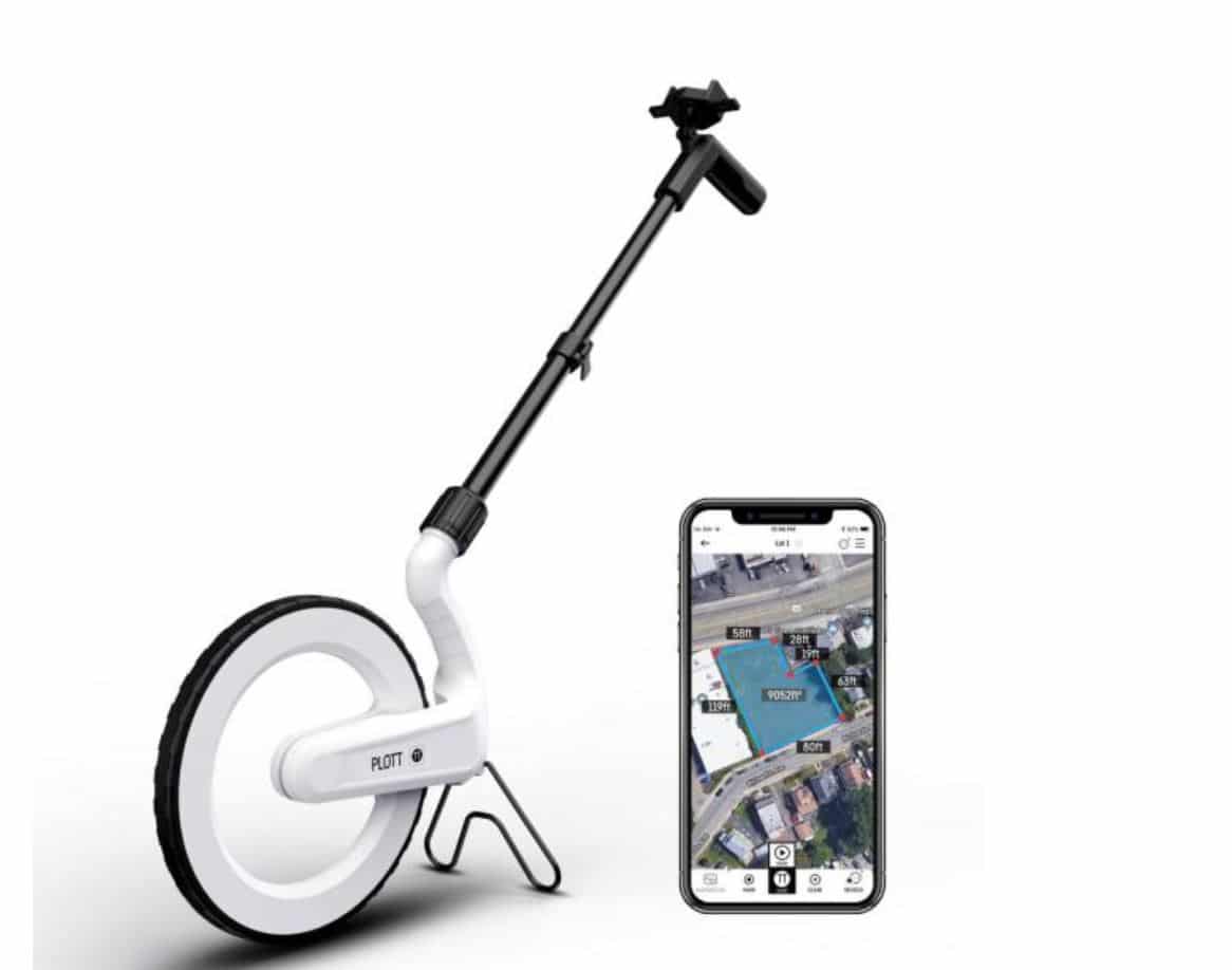
Plott Measurement Wheel
Description
Mapping out your project has never been easier. Wheel the Plott around to get accurate distance and angle measurements as you walk in real time. The app-enabled tool allows users to bring dimensional data into their phone while recording the path you walked over. It displays as a 2D image, such as a map or satellite image. Buy a Plott and get a free soil test and evaluation. We can even help you set it up and show you how to use it for free.


